Two hikers, while walking along the path that leads from Colle dell’Impiso to Piano di Gaudolino in the Pollino National Park, they found themselves in difficulty after losing orientation at around 1000 m. of altitude.
The two asked for help thanks to the “Georesq” App, the application developed by the National Alpine Rescue Corps and promoted by the Italian Alpine Club with the support of the Ministry of Tourism.
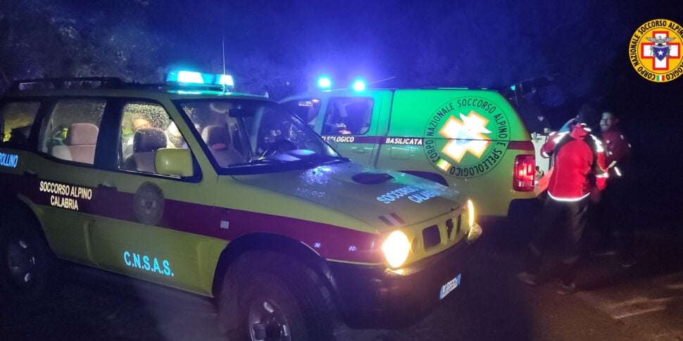
The Calabria Alpine and Speleological Rescue – CNSAS, in the early afternoon of today, was alerted by the GEORESQ Operations Centre.
The technicians from the Pollino Alpine Station of CNSAS Calabria arrived promptly on site and, after reaching the hikers, who were found in good health, accompanied them back to their cars.
Technicians from CNSAS Basilicata also participated in the recovery of the hikers.
CNSAS Calabria invites all mountain goers to install the GEORESQ app (which is reiterated as totally free for all mountain visitors) which allows you to send a request for help to the CNSAS Operations Centres.
To download the APP: www.georesq.it